How well-managed dams and smart forecasting can limit flooding as extreme storms become more common in a warming world
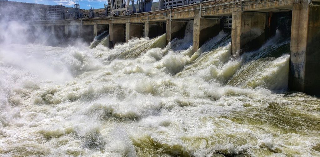
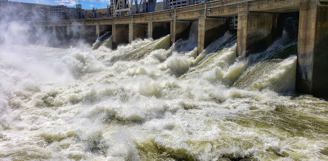
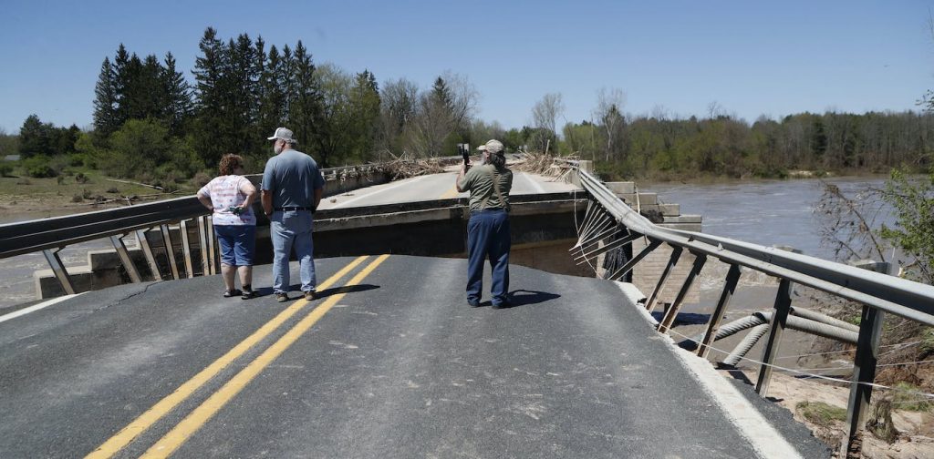
The arduous task of cleaning up from catastrophic flooding is underway across the Northeast after storms stretched the region’s flood control systems nearly to the breaking point.
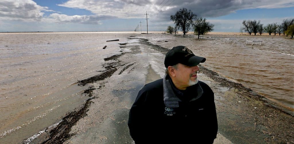
As rising global temperatures make extreme storms more common, the nation’s dams and reservoirs – crucial to keeping communities dry – are being tested. California and states along the Mississippi River have faced similar flood control challenges in 2023.
Managing these flood control systems is a careful balancing act. Do managers release water to make room for the storm’s runoff, increasing the risk of flooding downstream, or hold as much as possible to protect downstream farms and communities, which could increase the chance of larger floods if another storm comes through?
The earlier decisions can be made, the better the chance of avoiding downstream damage. But forecasts aren’t always reliable, and waiting for the rain to fall may mean acting too late.
Satellite water vapor imagery from July 9-11, 2023, shows the storms over the Northeast. Moisture-rich clouds are green, while drier air is orange.
I managed flood control reservoirs in Iowa and locks and dams along the Mississippi and Illinois rivers for a decade, and I now research the operation of large systems of reservoirs for flood control at the University of Iowa’s Iowa Flood Center. Here’s what reservoir managers think about during storms, and how efforts to improve forecasting may soon be able to reduce flood damage:
The many roles of dams
The United States is home to over 50,000 operable reservoirs that are overseen by dozens of state and federal agencies. Cumulatively, these dams store more water than Lakes Erie and Tahoe combined. Thousands of square miles of rainfall may run off the landscape into rivers and streams and ultimately drain into a single reservoir.
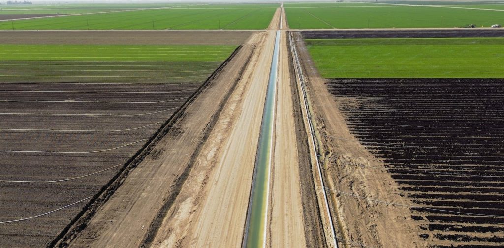
Using a gated outlet, reservoirs smooth streamflow throughout the year by storing water during heavy rains and releasing it to offset the effects of drought. This helps ensure a reliable water supply for agriculture, power generation and residential use.
Importantly, the reservoirs also provide flood protection for downstream communities.
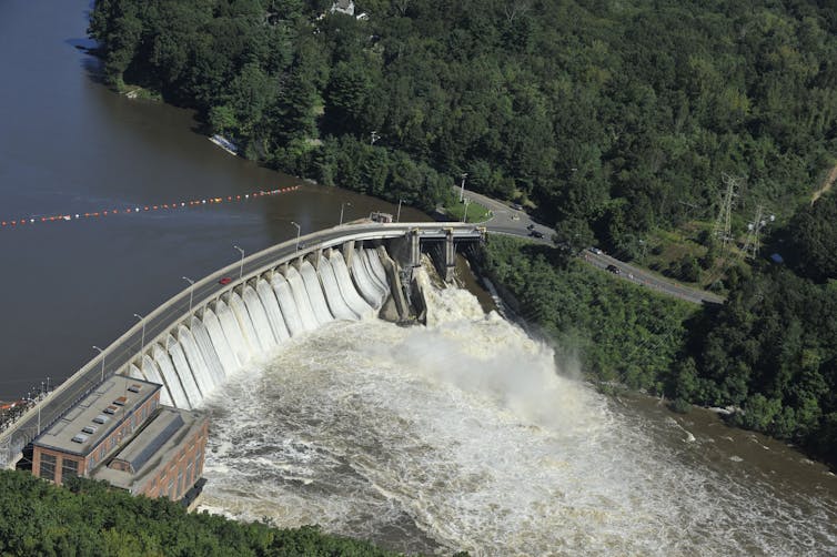 The Stevenson Dam on the Housatonic River in Connecticut can help prevent downstream flooding, but during extreme storms, like the remnants of Hurricane Irene in 2011, its managers have to release more water. AP Photo/Jessica Hill
Extreme storms can mean difficult trade-offs
Reservoir management can be drastically complicated when rainfall occurs in concentrated bursts.
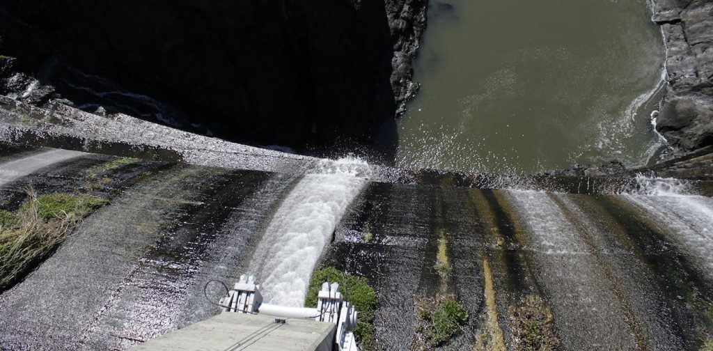
Reservoir operators are ready around the clock to respond to heavy rain. By adjusting gates within a reservoir’s outlet, water can be stored behind the dam, just like a bathtub with the drain partially blocked. That allows operators to release water slowly, in a controlled manner, to avoid flooding downstream communities.
Operators can also help downstream communities at risk of flash flooding by limiting the amount of water they release from the reservoir. That decision has to be made quickly, though – water takes time to move downstream. If the flow is cut too late, the manager may squander the opportunity to help.
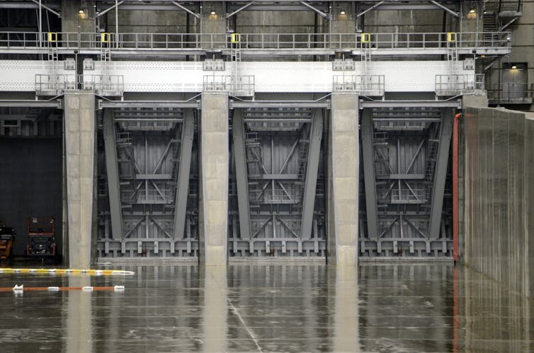 These 45-foot-high gates on a new auxiliary spillway were designed to allow dam operators to release water from California’s Folsom Reservoir earlier to reduce flood risk in the Sacramento area. U.S. Army Corps of Engineers
It’s when the entire region is getting heavy rain – both upstream and downstream from the reservoir – that reservoir operators face the greatest stress.
When rainfall is heavy or multiple storms occur in a short period, there often is not enough time to release the accumulated water from one event to make room for the next storm. If a reservoir is full, an overflow spillway will likely be activated, routing additional water around the dam to avoid damaging the dam itself. Though this maintains the structural integrity of the dam, it can drastically worsen downstream flooding.
What the manuals say
To help managers make these tough decisions, most flood control reservoirs have a regulation manual that outlines the process for operating the gates during floods.
Every flood control reservoir is unique, and these documents account for the specific priorities associated with each location. A flood control manual may stipulate maximum allowable outflows as reservoir levels rise. It also may constrain flows based on downstream river gauges to reduce flood impacts.
Managers still have to make choices, though. While the manual may give specific storage or downstream flow targets, no two floods are the same. It is up to reservoir operators to determine how to meet those targets. Releasing too little water can increase the risk of even larger floods in the future if more storms are on the way.
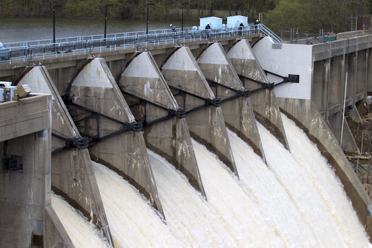 The T. Howard Duckett Dam on the Patuxent River releases water from all seven floodgates in Laurel, Md., in 2014 to manage rainfall from a storm. Parts of the city ended up flooding. AP Photo/Jose Luis Magana
This trade-off between current and future flood risk is known as “hedging.”
Years of research with complex computer models and simulation have helped optimize this decision-making process. Unfortunately, what looks good on paper isn’t always easy to put into practice, particularly when many of the nation’s aging dams require manually opening or closing the gates. Further, these decisions are often made during heavy rainfall, when conditions change quickly, and the operators do not have the gift of hindsight.
Accurate forecasts are essential
To make the best possible decisions about water releases, accurate forecasts are essential. This is an area ripe for improvement.
The value of a rainfall forecast for reservoir operation can be thought of as a three-legged stool built on where, when and how much rain falls. A rainfall forecast that only gets two of these three variables correct may do more harm than good. For example, a manager could preemptively release water for a storm that is expected upstream of a reservoir – only to see the storm hit downstream instead, potentially causing flood damage when combined with those preemptive releases.
To mitigate this risk, many flood control reservoirs are operated using a “water on the ground” approach. Rather than using a forecast, this approach waits to see where the rain falls and then reacts. Though this often results in a delayed reservoir response, it also reduces the risk of operational mistakes.
Recent projects using “forecast-informed reservoir operation” have shown how advancements in hydrologic forecasting may lead to better reservoir management. Though many of these projects are in early phases, studies show that there may be potential to use forecast-informed reservoir operation to help manage floods, while also maximizing water supply within regions that are prone to droughts. This trade-off has historically been particularly hard to navigate.
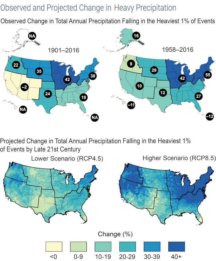 The numbers in black dots show the percentage change in extreme rainfall for each region over the years listed. The lower maps show projections. Even in a future with low greenhouse gas emissions, extreme precipitation events will be more likely in some regions. National Climate Assessment 2018
As climate change makes extreme rainfall more common, it will further test the nation’s flood-fighting capabilities and reservoir networks’ finite storage.
Expanding the number and size of reservoirs could help, but the social and ecological impacts make reservoir construction a tough political sell. Optimizing existing storage is the next-best strategy. Regardless, reservoir managers and forecasters are positioned at the front line of a battle that will become more challenging in a warming future.

